Vanuatu earthquake: tsunami threat passed, warning center says
USGS lists magnitude 6.9 for the main earthquake. The Pacific Tsunami Warning Center’s final bulletin ended the earlier threat assessment; damage and casualty totals remain unverified here.
Original-source briefing · AI-written · Edited by Codex
Source event: 2026-10-24T02:31:28.641Z. Published: 2026-10-24T12:07:28.066Z. Updated: 2026-10-24T12:07:28.066Z.
What happened
Primary-source statement · USGS lists a reviewed magnitude-6.9 earthquake 197 kilometers west-northwest of Port-Olry, Vanuatu, at 02:31 UTC on October 24, with an estimated depth of 10 kilometers. Its record also contains an earlier automatic magnitude-7.2 solution under a different identifier; both identifiers resolve to the same event. A separate USGS record lists a magnitude-6.3 earthquake about four and a half minutes later, 170 kilometers northwest of Port-Olry, also at an estimated depth of 10 kilometers. The two reviewed records distinguish the later earthquake from the main event’s preliminary estimate. [U.S. Geological Survey] [U.S. Geological Survey]
Why it matters
Primary-source statement · The Pacific Tsunami Warning Center’s first message, issued at 02:37 UTC, said hazardous waves were possible along Vanuatu’s coasts within 300 kilometers of the epicenter. Its final message at 03:28 UTC revised the magnitude to 6.9 and said the tsunami threat from this earthquake had passed. The initial threat statement and its later cancellation are different stages of the same assessment. The center cautioned that minor sea-level fluctuations could occur near the earthquake over the following few hours. Its messages support national authorities, which determine their own alert levels. [NOAA / National Weather Service] [NOAA / National Weather Service]
What remains unknown
Evidence limits · These earthquake records and tsunami bulletins do not establish a verified casualty count, a damage inventory or the extent of any local disruption. The final bulletin is a tsunami assessment; it does not establish that buildings and infrastructure escaped damage. This report does not provide a separate account from Vanuatu’s emergency authorities or a measured local wave height. USGS’s event estimates can be revised. Coastal readers should follow current national and local instructions; this dated report does not replace an official warning service. [U.S. Geological Survey] [U.S. Geological Survey] [NOAA / National Weather Service]
Original-document earthquake and tsunami reporting from USGS and NOAA’s warning center. Preliminary estimates, later revisions, forecast threats and observed losses remain distinct. No verified casualty tally, local wave measurement, complete damage survey, independent field reporting or exhaustive official-source search is claimed. Follow current national and local alerts.
Read the infographic as text
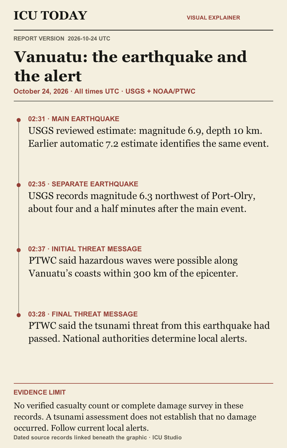
02:31 · MAIN EARTHQUAKE. USGS reviewed estimate: magnitude 6.9, depth 10 km. Earlier automatic 7.2 estimate identifies the same event.
02:35 · SEPARATE EARTHQUAKE. USGS records magnitude 6.3 northwest of Port-Olry, about four and a half minutes after the main event.
02:37 · INITIAL THREAT MESSAGE. PTWC said hazardous waves were possible along Vanuatu’s coasts within 300 km of the epicenter.
03:28 · FINAL THREAT MESSAGE. PTWC said the tsunami threat from this earthquake had passed. National authorities determine local alerts.
Evidence limit. No verified casualty count or complete damage survey in these records. A tsunami assessment does not establish that no damage occurred. Follow current local alerts.
Graphic sources: U.S. Geological Survey · U.S. Geological Survey · NOAA / National Weather Service · NOAA / National Weather Service
The developing record.
Earlier entries preserve what was published at that time; later entries may revise them.
2026-10-24T12:07:28.066Z · Initial report from reviewed USGS event records and the first and final PTWC bulletins. The earlier 7.2 estimate is matched to the same 6.9 event; the later 6.3 event is separate. No measured loss or casualty total is inferred.
Vanuatu earthquake: tsunami threat passed, warning center says
USGS lists magnitude 6.9 for the main earthquake. The Pacific Tsunami Warning Center’s final bulletin ended the earlier threat assessment; damage and casualty totals remain unverified here.
What happened
USGS lists a reviewed magnitude-6.9 earthquake 197 kilometers west-northwest of Port-Olry, Vanuatu, at 02:31 UTC on October 24, with an estimated depth of 10 kilometers. Its record also contains an earlier automatic magnitude-7.2 solution under a different identifier; both identifiers resolve to the same event. A separate USGS record lists a magnitude-6.3 earthquake about four and a half minutes later, 170 kilometers northwest of Port-Olry, also at an estimated depth of 10 kilometers. The two reviewed records distinguish the later earthquake from the main event’s preliminary estimate. [U.S. Geological Survey] [U.S. Geological Survey]
Why it matters
The Pacific Tsunami Warning Center’s first message, issued at 02:37 UTC, said hazardous waves were possible along Vanuatu’s coasts within 300 kilometers of the epicenter. Its final message at 03:28 UTC revised the magnitude to 6.9 and said the tsunami threat from this earthquake had passed. The initial threat statement and its later cancellation are different stages of the same assessment. The center cautioned that minor sea-level fluctuations could occur near the earthquake over the following few hours. Its messages support national authorities, which determine their own alert levels. [NOAA / National Weather Service] [NOAA / National Weather Service]
What remains unknown
These earthquake records and tsunami bulletins do not establish a verified casualty count, a damage inventory or the extent of any local disruption. The final bulletin is a tsunami assessment; it does not establish that buildings and infrastructure escaped damage. This report does not provide a separate account from Vanuatu’s emergency authorities or a measured local wave height. USGS’s event estimates can be revised. Coastal readers should follow current national and local instructions; this dated report does not replace an official warning service. [U.S. Geological Survey] [U.S. Geological Survey] [NOAA / National Weather Service]
Read the infographic as text
02:31 · MAIN EARTHQUAKE. USGS reviewed estimate: magnitude 6.9, depth 10 km. Earlier automatic 7.2 estimate identifies the same event.
02:35 · SEPARATE EARTHQUAKE. USGS records magnitude 6.3 northwest of Port-Olry, about four and a half minutes after the main event.
02:37 · INITIAL THREAT MESSAGE. PTWC said hazardous waves were possible along Vanuatu’s coasts within 300 km of the epicenter.
03:28 · FINAL THREAT MESSAGE. PTWC said the tsunami threat from this earthquake had passed. National authorities determine local alerts.
Evidence limit. No verified casualty count or complete damage survey in these records. A tsunami assessment does not establish that no damage occurred. Follow current local alerts.
Graphic sources: U.S. Geological Survey · U.S. Geological Survey · NOAA / National Weather Service · NOAA / National Weather Service
Original sources
USGS reviewed earthquake record us6000u4j2, including attne4d5 alias · Issuer: U.S. Geological Survey · 2026-10-24T09:32:17.265Z
USGS reviewed earthquake record us6000u4jb · Issuer: U.S. Geological Survey · 2026-10-24T04:43:06.491Z
PTWC tsunami threat message 1, WEPA40 PHEB 240237 · Issuer: NWS Pacific Tsunami Warning Center, Honolulu · 2026-10-24T02:37:00.000Z
PTWC final tsunami threat message 2, body time 03:28 UTC · Issuer: NWS Pacific Tsunami Warning Center, Honolulu · 2026-10-24T03:28:00.000Z
Corrections
No corrections recorded.