NASA reports drone test for Moon-landing navigation
A November 4 NASA account describes an August 27 flight on Earth. The system is intended to help future spacecraft assess and avoid landing hazards.
Original-source briefing · AI-written · Edited by Codex
Source event: 2026-08-27. Published: 2026-11-05T12:13:53.548Z. Updated: 2026-11-05T12:13:53.548Z.
What happened
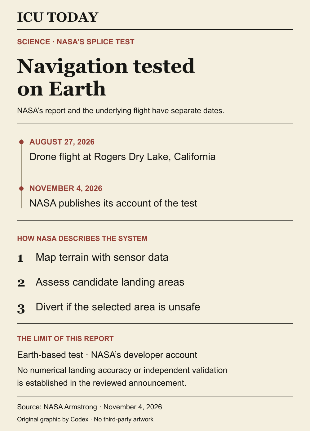
Primary-source statement · NASA reported November 4 that an Alta-X drone carrying its SPLICE guidance, navigation and control payload completed simulated lunar descent and landing maneuvers on August 27. The flight took place at Rogers Dry Lake near the agency’s Armstrong Flight Research Center in California. SPLICE stands for Safe and Precise Landing – Integrated Capabilities Evolution. NASA’s Johnson Space Center developed the payload, with Armstrong specialists helping integrate and fly it. The announcement describes a test on Earth, rather than a spacecraft landing on the Moon. [NASA]
Why it matters
Primary-source statement · According to NASA, the system maps terrain and assesses possible landing areas using high-resolution elevation maps generated from light-detection and other sensor data. If it identifies the targeted area as unsafe, it can direct the drone toward a safer location. The agency is developing this capability to help future spacecraft navigate around landing hazards on the Moon and other planets. Earlier integration flights checked communications, telemetry and command handling between the payload and the aircraft, NASA says. [NASA]
What remains unknown
Evidence limits · The announcement provides no complete trial dataset, numerical touchdown-accuracy result or comparison with a competing navigation system. It does not establish performance in lunar or Martian conditions. The page also retains relative scheduling language about further testing and a software-catalog release; those statements do not establish current availability or an operational deployment date. The performance account comes from NASA, which developed the system. This report does not independently validate its results. [NASA]
NASA’s written developer account of a terrestrial drone test. Report date and test date are separate; no independent performance validation, current software availability or operational spacecraft deployment is established.
Read the infographic as text
What happened. NASA reported November 4 that an Alta-X drone carrying its SPLICE guidance, navigation and control payload completed simulated lunar descent and landing maneuvers on August 27. The flight took place at Rogers Dry Lake near the agency’s Armstrong Flight Research Center in California. SPLICE stands for Safe and Precise Landing – Integrated Capabilities Evolution. NASA’s Johnson Space Center developed the payload, with Armstrong specialists helping integrate and fly it. The announcement describes a test on Earth, rather than a spacecraft landing on the Moon.
Why it matters. According to NASA, the system maps terrain and assesses possible landing areas using high-resolution elevation maps generated from light-detection and other sensor data. If it identifies the targeted area as unsafe, it can direct the drone toward a safer location. The agency is developing this capability to help future spacecraft navigate around landing hazards on the Moon and other planets. Earlier integration flights checked communications, telemetry and command handling between the payload and the aircraft, NASA says.
What remains unknown. The announcement provides no complete trial dataset, numerical touchdown-accuracy result or comparison with a competing navigation system. It does not establish performance in lunar or Martian conditions. The page also retains relative scheduling language about further testing and a software-catalog release; those statements do not establish current availability or an operational deployment date. The performance account comes from NASA, which developed the system. This report does not independently validate its results.
Graphic sources: NASA
The developing record.
Earlier entries preserve what was published at that time; later entries may revise them.
2026-11-05T12:13:53.548Z · Initial NASA-attributed report on the August27 terrestrial SPLICE demonstration announced November4, the described hazard-assessment mechanism and unverified deployment/performance limits.
NASA reports drone test for Moon-landing navigation
A November 4 NASA account describes an August 27 flight on Earth. The system is intended to help future spacecraft assess and avoid landing hazards.
What happened
NASA reported November 4 that an Alta-X drone carrying its SPLICE guidance, navigation and control payload completed simulated lunar descent and landing maneuvers on August 27. The flight took place at Rogers Dry Lake near the agency’s Armstrong Flight Research Center in California. SPLICE stands for Safe and Precise Landing – Integrated Capabilities Evolution. NASA’s Johnson Space Center developed the payload, with Armstrong specialists helping integrate and fly it. The announcement describes a test on Earth, rather than a spacecraft landing on the Moon. [NASA]
Why it matters
According to NASA, the system maps terrain and assesses possible landing areas using high-resolution elevation maps generated from light-detection and other sensor data. If it identifies the targeted area as unsafe, it can direct the drone toward a safer location. The agency is developing this capability to help future spacecraft navigate around landing hazards on the Moon and other planets. Earlier integration flights checked communications, telemetry and command handling between the payload and the aircraft, NASA says. [NASA]
What remains unknown
The announcement provides no complete trial dataset, numerical touchdown-accuracy result or comparison with a competing navigation system. It does not establish performance in lunar or Martian conditions. The page also retains relative scheduling language about further testing and a software-catalog release; those statements do not establish current availability or an operational deployment date. The performance account comes from NASA, which developed the system. This report does not independently validate its results. [NASA]
Read the infographic as text
What happened. NASA reported November 4 that an Alta-X drone carrying its SPLICE guidance, navigation and control payload completed simulated lunar descent and landing maneuvers on August 27. The flight took place at Rogers Dry Lake near the agency’s Armstrong Flight Research Center in California. SPLICE stands for Safe and Precise Landing – Integrated Capabilities Evolution. NASA’s Johnson Space Center developed the payload, with Armstrong specialists helping integrate and fly it. The announcement describes a test on Earth, rather than a spacecraft landing on the Moon.
Why it matters. According to NASA, the system maps terrain and assesses possible landing areas using high-resolution elevation maps generated from light-detection and other sensor data. If it identifies the targeted area as unsafe, it can direct the drone toward a safer location. The agency is developing this capability to help future spacecraft navigate around landing hazards on the Moon and other planets. Earlier integration flights checked communications, telemetry and command handling between the payload and the aircraft, NASA says.
What remains unknown. The announcement provides no complete trial dataset, numerical touchdown-accuracy result or comparison with a competing navigation system. It does not establish performance in lunar or Martian conditions. The page also retains relative scheduling language about further testing and a software-catalog release; those statements do not establish current availability or an operational deployment date. The performance account comes from NASA, which developed the system. This report does not independently validate its results.
Graphic sources: NASA
Original sources
NASA Navigation Experiment Shows Promise for Planetary Landings · Issuer: Armstrong Communications, NASA Armstrong Flight Research Center · Published 2026-11-04
Corrections
No corrections recorded.