NASA reports rising Amazon fire activity and warns of a longer season
An October 12 satellite image shows smoke along the Amazon River. NASA’s October 15 account separates observed fires from forecasts, and explains why satellite detections can miss burning forest.
Original-source briefing · AI-written · Edited by Codex
Source event: 2026-10-15. Published: 2026-10-15T12:22:15.866Z. Updated: 2026-10-15T12:22:15.866Z.
What happened
Primary-source statement · NASA’s Earth Observatory reported on October 15 that satellite monitoring has detected a sharp increase in fire activity and smoke emissions in the central and eastern Amazon since September. Its account describes affected forests around Manaus and Santarém and toward the river’s mouth. NASA published an October 12 image from the MODIS instrument on its Aqua satellite showing smoke from fires on both sides of the Amazon River, including heavy smoke around Manaus. The image date is separate from today’s publication date. [NASA]
Why it matters
Primary-source statement · NASA’s account links the dry conditions to El Niño and presents a warning from Goddard scientist Douglas Morton that the fire season could continue for months. He expects activity to shift farther north during November and December, including northern Brazilian states and parts of neighboring countries. NASA also explains a monitoring problem: smoke, clouds and tree cover can hide the infrared signal used to detect fires, particularly those burning beneath the forest canopy. A smaller satellite detection count therefore does not necessarily mean less fire, according to that explanation. [NASA]
What remains unknown
Evidence limits · The projected timing and geographic spread are forecasts in NASA’s written account, not observed future outcomes. This briefing has not independently measured burned area, counted active fires or verified local illness and closure reports. The satellite image and agency interpretation are one NASA-origin account, not independent corroboration. Ground observations and subsequent satellite passes are still needed to establish the extent of the fires and their effects. [NASA]
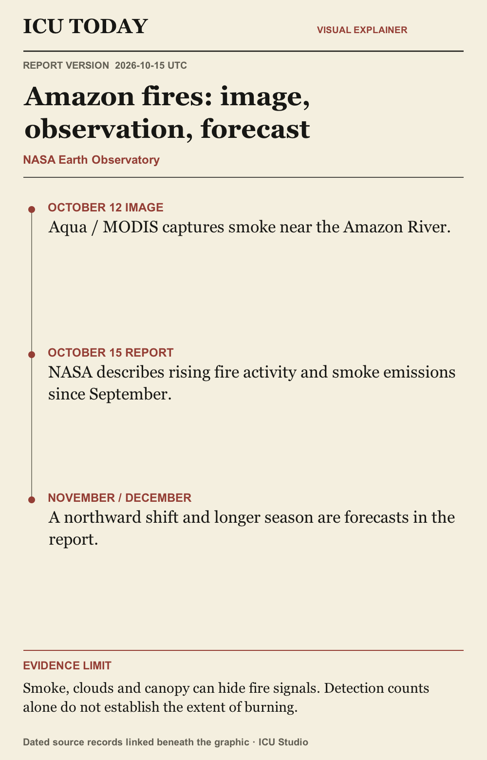
Read the infographic as text
OCTOBER 12 IMAGE. Aqua / MODIS captures smoke near the Amazon River.
OCTOBER 15 REPORT. NASA describes rising fire activity and smoke emissions since September.
NOVEMBER / DECEMBER. A northward shift and longer season are forecasts in the report.
Evidence limit. Smoke, clouds and canopy can hide fire signals. Detection counts alone do not establish the extent of burning.
Graphic sources: NASA
The developing record.
Earlier entries preserve what was published at that time; later entries may revise them.
2026-10-15T12:22:15.866Z · Initial reviewed report of NASA’s October 15 fire account, separating the October 12 image and future fire outlook.
NASA reports rising Amazon fire activity and warns of a longer season
An October 12 satellite image shows smoke along the Amazon River. NASA’s October 15 account separates observed fires from forecasts, and explains why satellite detections can miss burning forest.
What happened
NASA’s Earth Observatory reported on October 15 that satellite monitoring has detected a sharp increase in fire activity and smoke emissions in the central and eastern Amazon since September. Its account describes affected forests around Manaus and Santarém and toward the river’s mouth. NASA published an October 12 image from the MODIS instrument on its Aqua satellite showing smoke from fires on both sides of the Amazon River, including heavy smoke around Manaus. The image date is separate from today’s publication date. [NASA]
Why it matters
NASA’s account links the dry conditions to El Niño and presents a warning from Goddard scientist Douglas Morton that the fire season could continue for months. He expects activity to shift farther north during November and December, including northern Brazilian states and parts of neighboring countries. NASA also explains a monitoring problem: smoke, clouds and tree cover can hide the infrared signal used to detect fires, particularly those burning beneath the forest canopy. A smaller satellite detection count therefore does not necessarily mean less fire, according to that explanation. [NASA]
What remains unknown
The projected timing and geographic spread are forecasts in NASA’s written account, not observed future outcomes. This briefing has not independently measured burned area, counted active fires or verified local illness and closure reports. The satellite image and agency interpretation are one NASA-origin account, not independent corroboration. Ground observations and subsequent satellite passes are still needed to establish the extent of the fires and their effects. [NASA]
Original sources
NASA Earth Observatory: Fires Arrive in the Amazon Rainforest · Issuer: NASA · 2026-10-15
Corrections
No corrections recorded.