A-81 slowed near South Georgia’s shelf, NASA reports
An October 27 account uses October 20 satellite imagery; the Ice Center’s October 22 table is a dated record, rather than a live position.
Original-source briefing · AI-written · Edited by Codex
Source event: 2026-10-20. Published: 2026-10-27T13:02:05.227Z. Updated: 2026-10-27T13:02:05.227Z.
What happened
Primary-source statement · NASA’s October 27 Earth Observatory report says iceberg A-81 slowed near the edge of South Georgia’s underwater shelf. It presents an image acquired on October 20 by the MODIS instrument on NASA’s Terra satellite. The written account describes the berg as appearing to bump along the shelf in the preceding days. That account concerns dated imagery and recent movement; it does not declare that A-81 has grounded or establish its position on October 27. [NASA Earth Observatory]
Why it matters
Primary-source statement · NASA notes that South Georgia has slowed or stopped icebergs before, including A-23A, which grounded there in 2025 and later broke apart. Its new account traces A-81 from the Brunt Ice Shelf’s January 2023 calving, through the Weddell Sea, to the Antarctic Peninsula by May 2026 and then northward. A separate U.S. National Ice Center table lists A81 at 54.9 degrees south, 38.33 degrees west, with an area of 1,341.79 square kilometers. That row is marked last updated October 22; it is a dated tracking record. [NASA Earth Observatory] [U.S. National Ice Center]
What remains unknown
Evidence limits · The October 20 image date, October 22 table update and October 27 story date describe different stages of the reporting. None is a live location fix. NASA cites the Ice Center’s files, so these documents are not treated as wholly independent confirmation of the iceberg’s track. This review establishes neither a subsequent grounding outcome nor measured effects on wildlife or fisheries. The documents also do not provide a verified forecast of where or when A-81 will break apart. Later tracking or satellite observations would be needed to update those questions. [NASA Earth Observatory] [U.S. National Ice Center]
Image acquisition, table update and story publication have separate dates. NASA references USNIC files; the two documents are not treated as fully independent confirmation of the same track. No current location, confirmed grounding, ecological damage or breakup forecast is established.
Read the infographic as text
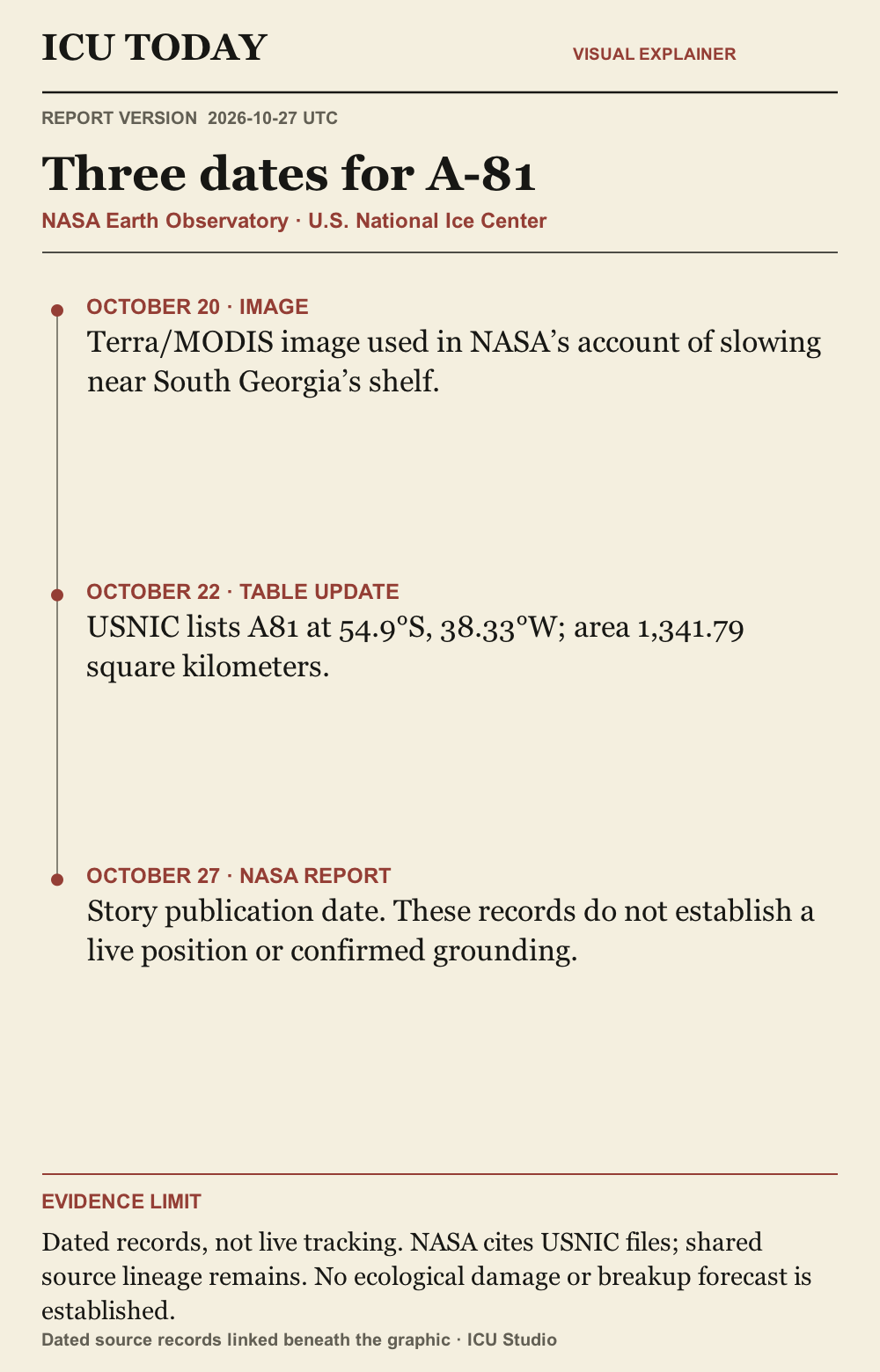
OCTOBER 20 · IMAGE. Terra/MODIS image used in NASA’s account of slowing near South Georgia’s shelf.
OCTOBER 22 · TABLE UPDATE. USNIC lists A81 at 54.9°S, 38.33°W; area 1,341.79 square kilometers.
OCTOBER 27 · NASA REPORT. Story publication date. These records do not establish a live position or confirmed grounding.
Evidence limit. Dated records, not live tracking. NASA cites USNIC files; shared source lineage remains. No ecological damage or breakup forecast is established.
Graphic sources: NASA Earth Observatory · U.S. National Ice Center
The developing record.
Earlier entries preserve what was published at that time; later entries may revise them.
2026-10-27T13:02:05.227Z · Initial attributed report of A-81 slowing near South Georgia’s shelf, with October 20 satellite imagery and the Ice Center’s October 22 table kept distinct from the October 27 publication date.
A-81 slowed near South Georgia’s shelf, NASA reports
An October 27 account uses October 20 satellite imagery; the Ice Center’s October 22 table is a dated record, rather than a live position.
What happened
NASA’s October 27 Earth Observatory report says iceberg A-81 slowed near the edge of South Georgia’s underwater shelf. It presents an image acquired on October 20 by the MODIS instrument on NASA’s Terra satellite. The written account describes the berg as appearing to bump along the shelf in the preceding days. That account concerns dated imagery and recent movement; it does not declare that A-81 has grounded or establish its position on October 27. [NASA Earth Observatory]
Why it matters
NASA notes that South Georgia has slowed or stopped icebergs before, including A-23A, which grounded there in 2025 and later broke apart. Its new account traces A-81 from the Brunt Ice Shelf’s January 2023 calving, through the Weddell Sea, to the Antarctic Peninsula by May 2026 and then northward. A separate U.S. National Ice Center table lists A81 at 54.9 degrees south, 38.33 degrees west, with an area of 1,341.79 square kilometers. That row is marked last updated October 22; it is a dated tracking record. [NASA Earth Observatory] [U.S. National Ice Center]
What remains unknown
The October 20 image date, October 22 table update and October 27 story date describe different stages of the reporting. None is a live location fix. NASA cites the Ice Center’s files, so these documents are not treated as wholly independent confirmation of the iceberg’s track. This review establishes neither a subsequent grounding outcome nor measured effects on wildlife or fisheries. The documents also do not provide a verified forecast of where or when A-81 will break apart. Later tracking or satellite observations would be needed to update those questions. [NASA Earth Observatory] [U.S. National Ice Center]
Read the infographic as text
OCTOBER 20 · IMAGE. Terra/MODIS image used in NASA’s account of slowing near South Georgia’s shelf.
OCTOBER 22 · TABLE UPDATE. USNIC lists A81 at 54.9°S, 38.33°W; area 1,341.79 square kilometers.
OCTOBER 27 · NASA REPORT. Story publication date. These records do not establish a live position or confirmed grounding.
Evidence limit. Dated records, not live tracking. NASA cites USNIC files; shared source lineage remains. No ecological damage or breakup forecast is established.
Graphic sources: NASA Earth Observatory · U.S. National Ice Center
Original sources
NASA Earth Observatory: A-81 Reaches South Georgia, October 27 report using October 20 imagery · Issuer: NASA · 2026-10-27
U.S. National Ice Center Antarctic iceberg table, October 22 edition, A81 row · Issuer: U.S. National Ice Center · Edition dated 2026-10-22
Corrections
No corrections recorded.